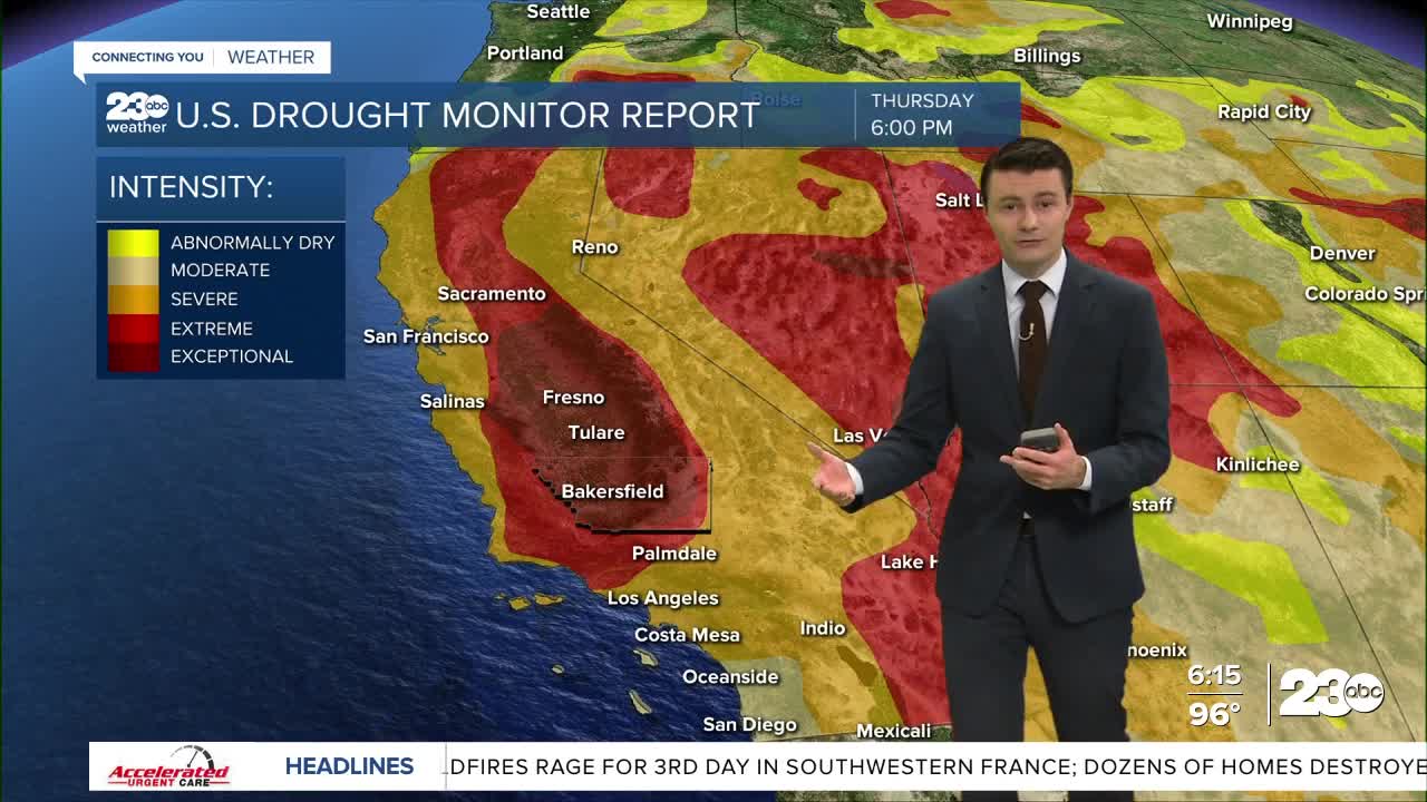
The latest drought monitor issued Thursday shows quite a bit of change in California, both good and bad.
Let's start with the good.
Several rounds of monsoonal thunderstorms have been supplying rain to California's desert areas, leading to improvement in the drought in those areas from D3 Extreme Drought to D2 Severe Drought
This week 46% of the state is under Extreme Drought, that's down from 60% last week.
Here in Kern, a small sliver of our eastern border has been reduced to Severe Drought, taking our Extreme Drought coverage down to 96% from 100% last week.
Now to the bad news.
While California's deserts got good rain, very little moisture made it into the Valley, and the amount of D4 Exceptional Drought has expanded statewide to 17% from 12% last week.
A good part of that expansion came here in Kern, where 82% of the county now sits in Exceptional Drought, up from 70% last week.
Moving to the forecast, it does look like monsoonal moisture may be coming back into Kern County as soon as next week, and we'll once again be watching the radar.
The same pattern that will bring back the monsoon will also bring back heat, and Heatwave #3 is likely by next week.
In the short term were looking at a fairly average night with just a few high clouds for the peak of the annual Perseid meteor shower.
However, a full moon will outshine some of the many of the fainter meteors, so only the brightest shooting stars will be visible.


